|
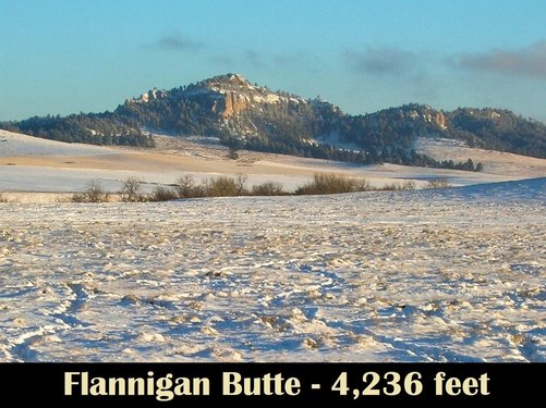
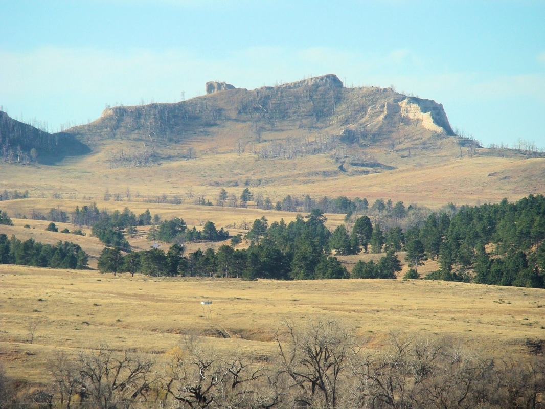
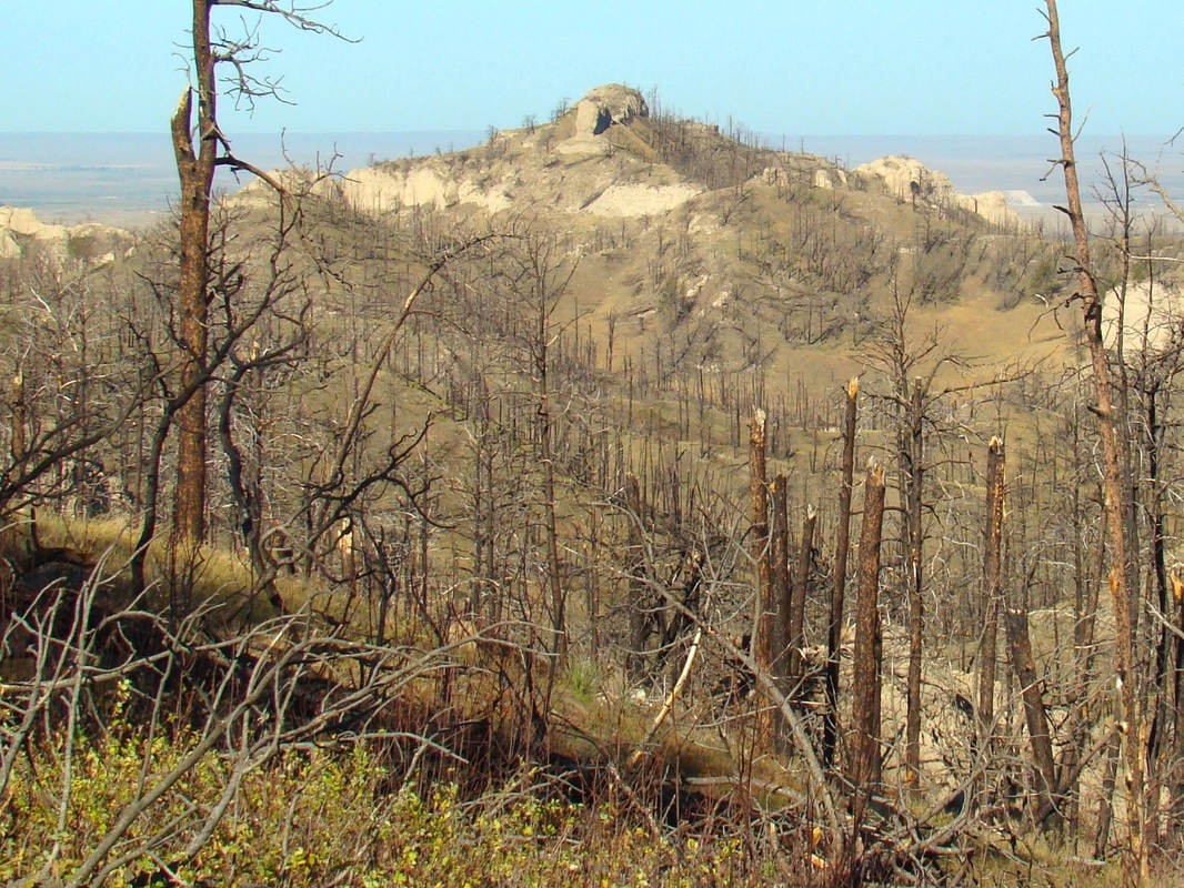
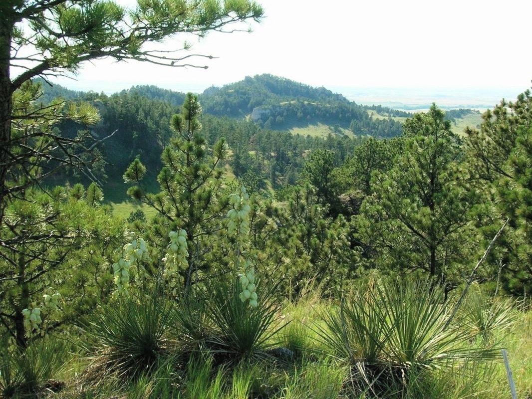
Viewed from a distance this butte does not seem all that steep. But once you are ascending it, you will be amazed. On the west and north, it faces private lands. So, unless you get permission to cross that land, you will need to plan your route in from the public land to the north and east.
To get to the turnoff for hiking to Flannigan Butte, go south from Chadron 7 1/2 miles on Highway 385. There will be an old road on the right, going west, with few markings. But, the road almost immediately splits, with the left branch going to the nearby farm, and the right branch labeled 739, and going up a hill in a westerly direction. Do not follow the route for road 779. 739 will take you soon to a fence line and gate. There you are at private property and will need to park. To get to Flannigan from there follow the fence line north until it turns west. Follow that west for about 1 mile. From there, all the land west to Flannigan is public and you can choose your own route. Most area hikers go around to the south side and make their ascent to the top that way. |


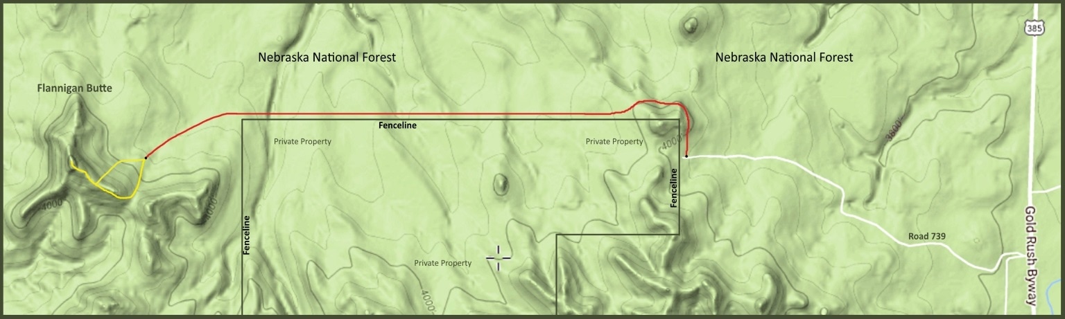
Flannigan Butte Hiking Route Map
When I consider Your heavens, the work of Your fingers, the moon and the stars, which You have ordained; what is man that You take thought of him, and the son of man that You care for him? Psalm 8:3-4
